 1")


Chance of afternoon storms ahead of “very wet” weekend
Last Updated on June 9, 2023 by Admin
[ad_1]

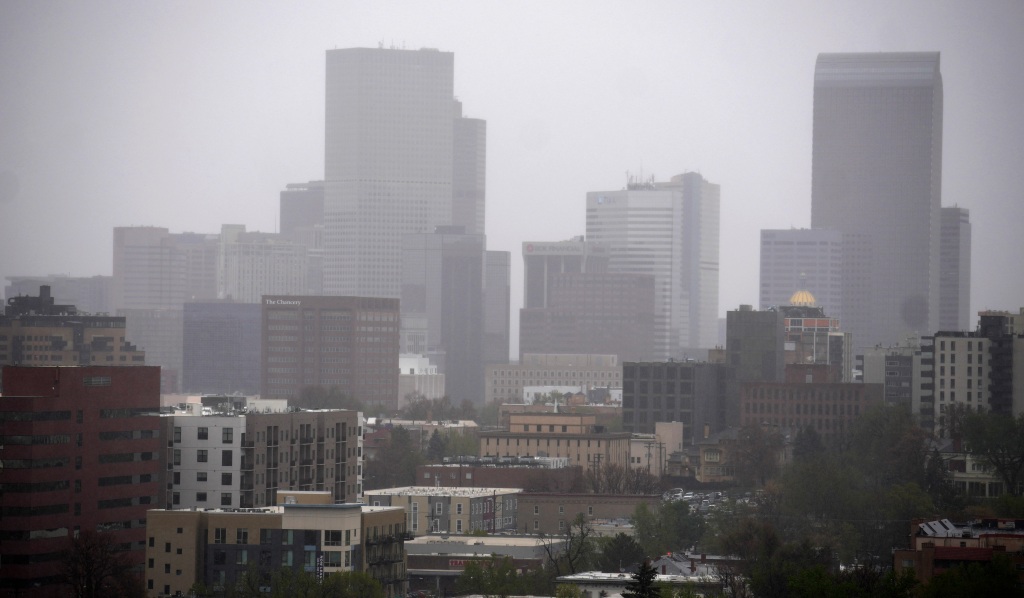
Metro Denver residents on Friday face partly sunny skies, and then possible thunderstorms bringing potentially intense wind in the afternoon, leading to a weekend that will be “very wet,” according to the National Weather Service.
The wind could gust at speeds up to 60 miles per hour in northeastern Colorado and hail could fall, up to an inch in diameter, weather service forecasters said. Any severe storms Friday likely will hit hardest east of the Interstate 25 urban corridor, forecasters said, estimating the likelihood of rain Friday at 30%.
On Saturday and continuing through Monday, sunny blue skies in the mornings will shift to cloudier, stormier conditions leading to rain storms, forecasters said, anticipating “a very wet period” before a warming trend on Tuesday. “Storms that form Saturday through Monday will be strong with heavy rain likely in the mountains, foothills, and I-25 corridor,” weather service officials said. “This may lead to flooding due to the very wet ground that will not be able to take much more water. The most likely day for flooding will be Sunday
but the flooding risk will exist on Saturday and Monday as well.”
The risks of flooding and possible mudslides remain highest on mountain terrain burned by recent severe wildfires and meteorologists warned some of the storms Saturday through Monday could be severe in those areas with hail and potentially damaging wind.
The high temperature in Denver Friday will be 80 degrees, decreasing to 78 degrees Saturday and 69 degrees Sunday. Night low temperatures are expected to stay around 54 degrees, relatively warm.
Scattered showers and thunderstorms will form this afternoon and early evening over the mountains and plains. A few strong to severe storms are possible on the plains with damaging winds and hail. The flash flood threat is limited over the mountains today. #cowx pic.twitter.com/Ktd580Rer4
— NWS Boulder (@NWSBoulder) June 9, 2023
Flash flooding in Front Range mountain canyons and foothills on Friday is considered possible but unlikely, forecasters said, before the risks increase over the weekend.
Scattered showers and thunderstorms will again be expected this afternoon and evening over the mountains but the flash flood threat is limited today. There will be elevated risk for flash flooding this weekend with increasing moisture levels expected. #cowx pic.twitter.com/q6PASlxYUH
— NWS Boulder (@NWSBoulder) June 9, 2023
[ad_2]
Source link